March 16
Area:
Red Pine, Dry Creek
Elevation, slope angles and aspects:
7500’-1100’, angles to 40° all aspects.
Avalanche activity:
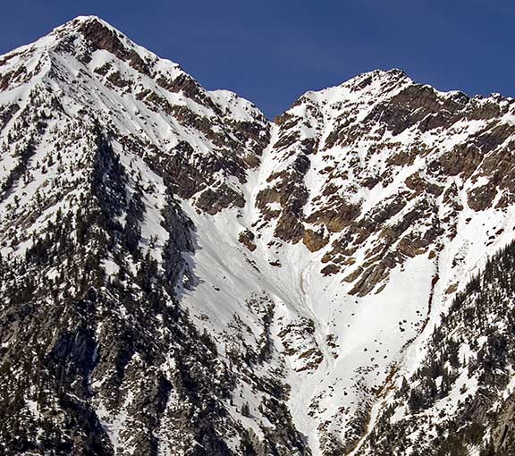
Several wet slides observed coming off the rocks, mid canyon in Red Pine.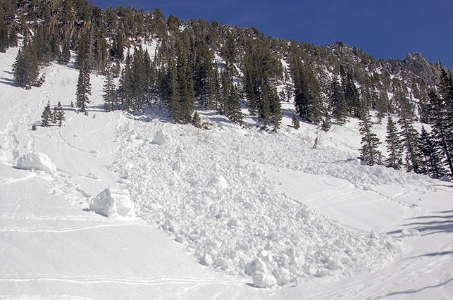
It appeared they started as point releases spreading and gouging down to the ground in places as they ran.
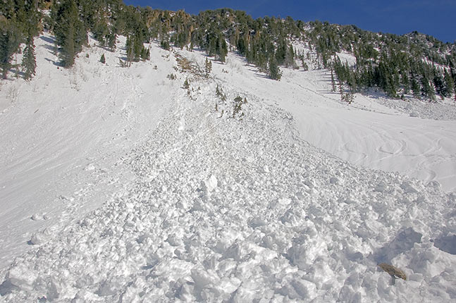
Several of the larger chunks were the size of economy cars.
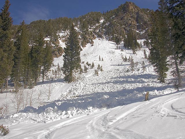
A coupla point releases off the east facing in the lower lake area, much smaller and surface snow only. Some activity in Dry Creek of the point release variety
Also noted were numerous stress fractures on lower angled terrain in Dry Creek, where the snow adjusting to the heat, tried to slide and couldn’t. Those were also from the warm, early week period
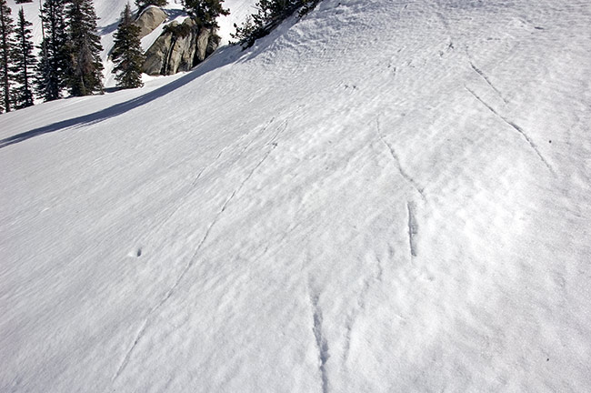
On the ski back out, wet activity in upper Tanners, southeast facing was seen, also gouging into old snow and dirt layering.
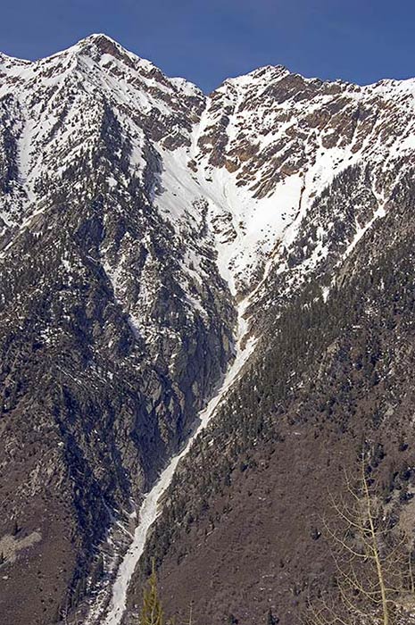
zoomed view
Slopes skied:
Shoulder of the Pfeifferhorn, south facing, traversing to the west, Chipman south facing east shoulder 2800’ feet into Dry Creek and off the ridge above Red Pine lake, continuing out Red Pine.
Snow surface and conditions:
Snow at the parking area had received a refreeze somewhat marginal as boot penetration was calf deep in places. That improved with elevation gain, pole probing was difficult in the well frozen snow. Some lingering dry settled snow was found above 9500’. Most was crusted on all aspects. The softening was timely, with south facing skied at 11:30 all the way to the 8000’ level. Climbing up the west facing into the afternoon found the snow remained supportable and softened without collapse or sinking. Northeast facing had soft snow in the afternoon supportable and without rollers. The lower elevations were a bit sticky by afternoon, remaining supportable.
Weather:
Bluebird, with a few high clouds and occasional light south breeze. By afternoon it was a cooker.
Evaluation:
Good corn skiing and overnight refreeze. Little in the way of wet activity noted. Mostly stable snow, with proper technique following the sun. My reading of the weather forecast indicated radiation cooling would once again crust the snow, although the low temperature may not be below freezing. I’d expect a short-lived corn skiing period, with an increased potential for wet activity earlier in the day. Would not expect to see large avalanches in older snow layering, without a good-sized trigger at this time. Hazard could well increase by Sunday, with the forecasted increasing temperatures.
© wowasatch.com